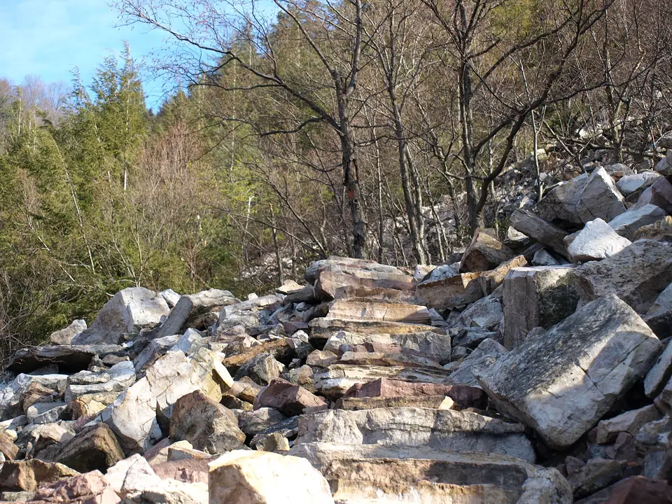
Hiking trail · Ohiopyle, Fayette County
Laurel Highlands Hiking Trail
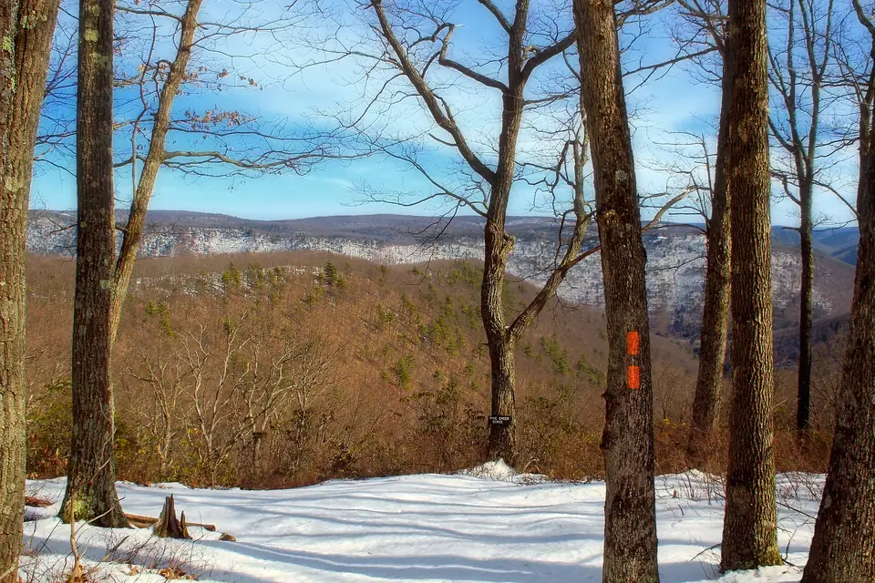
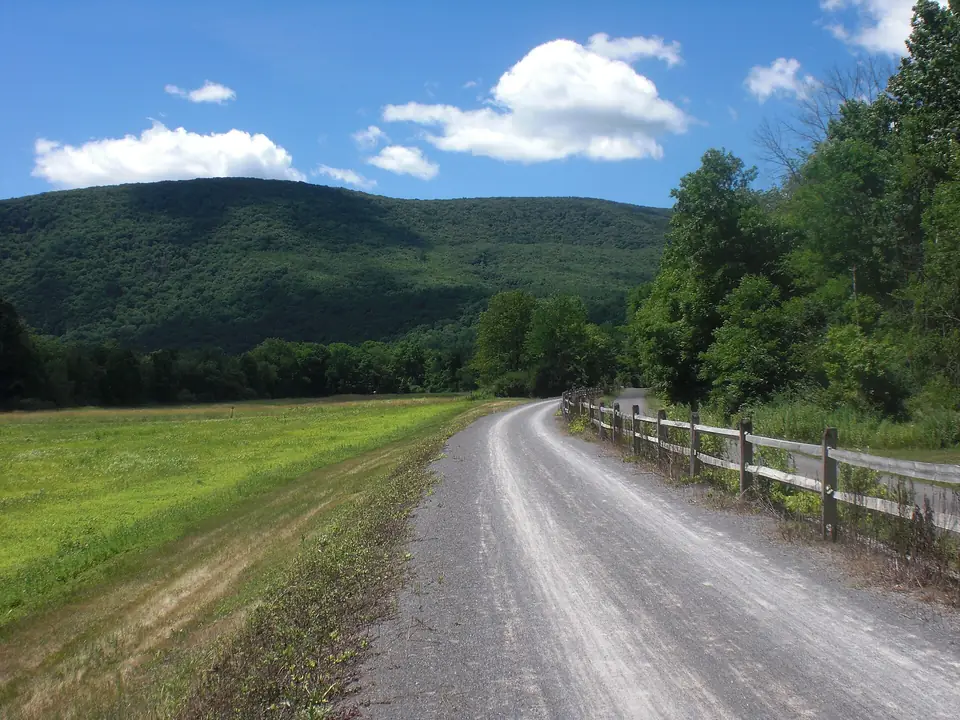
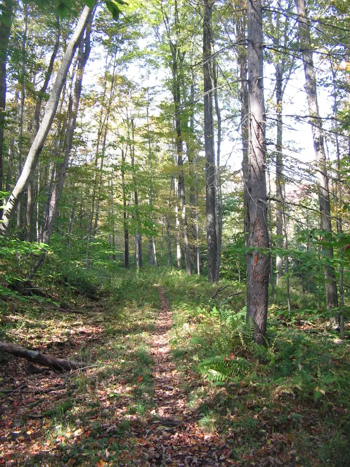
Seventy miles of footpath along Laurel Ridge, from the Youghiogheny River to the Conemaugh Gorge, with mileposts all the way, mountain views and shelter areas for backpackers.
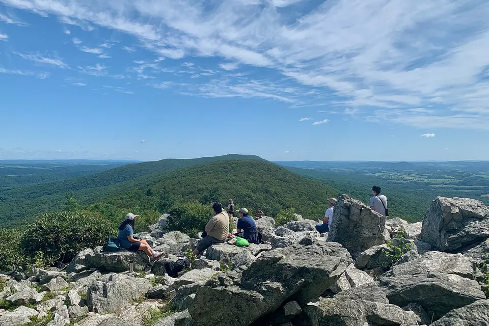
29 places
Ridge-top lookouts, canyon rims and long-distance trails
Photo: Zeete, CC BY-SA 4.0, via Wikimedia Commons
Pennsylvania is a walker's state. The Appalachian Trail crosses it for about 230 miles, much of it on ridges so rocky that hikers call the state "Rocksylvania," and the Laurel Highlands Hiking Trail follows a mountain ridge for seventy miles from Ohiopyle to the Conemaugh Gorge. In the northern forests, trails such as the West Rim and the Black Forest Trail run along canyon edges and drop in and out of steep, wild valleys.
For shorter outings there are the lookouts at Hawk Mountain, the waterfall trail at Ricketts Glen and, inside Philadelphia's city limits, the wooded gorge of Wissahickon Creek. Wear sturdy boots: the rocks are real.
Our picks
Hiking trail · Ohiopyle, Fayette County
Seventy miles of footpath along Laurel Ridge, from the Youghiogheny River to the Conemaugh Gorge, with mileposts all the way, mountain views and shelter areas for backpackers.
Hiking trail · Shippen Township, Tioga County
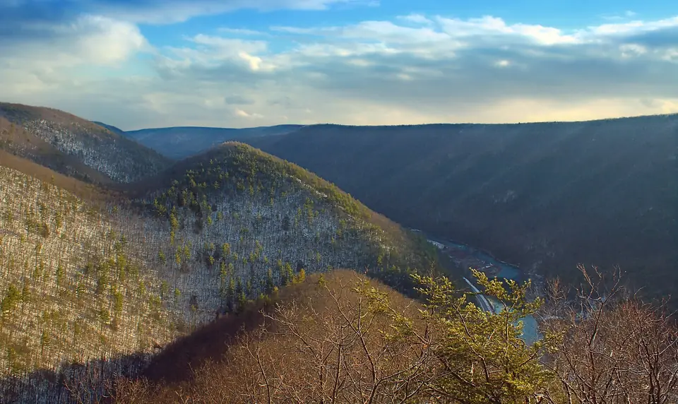
For 30 miles this footpath follows the western rim of the Pennsylvania Grand Canyon, with frequent vistas down into Pine Creek Gorge and campsites along the way.
Raptor sanctuary · East Brunswick Township, Schuylkill County
The world's first refuge for birds of prey, where hikers climb to rocky lookouts on the Kittatinny Ridge to watch thousands of hawks, eagles and falcons stream south each fall.
Photo: Zeete, CC BY-SA 4.0, via Wikimedia Commons
Long-distance trail · Cooke Township, Cumberland County
The Maine-to-Georgia footpath crosses about 230 rocky miles of Pennsylvania; at Pine Grove Furnace, near its halfway point, an old gristmill houses the Appalachian Trail Museum.
Hiking trail · Brown Township, Lycoming County
Steep climbs out of deep hollows lead to wide vistas over the Pine Creek valley on this hard 42-mile loop near Slate Run.
Photo: Nicholas A. Tonelli, CC BY 2.0, via Wikimedia Commons
City park · Philadelphia, Philadelphia County
A deep, wooded gorge cut by Wissahickon Creek, with car-free Forbidden Drive along the water, the 1850s Valley Green Inn, a covered bridge and rugged trails up schist cliffs.
The full list
Forty miles of the free-flowing Delaware River between forested ridges, with canoe and tubing runs, river beaches, waterfalls such as Dingmans and Raymondskill, and the Appalachian Trail at the gap itself.
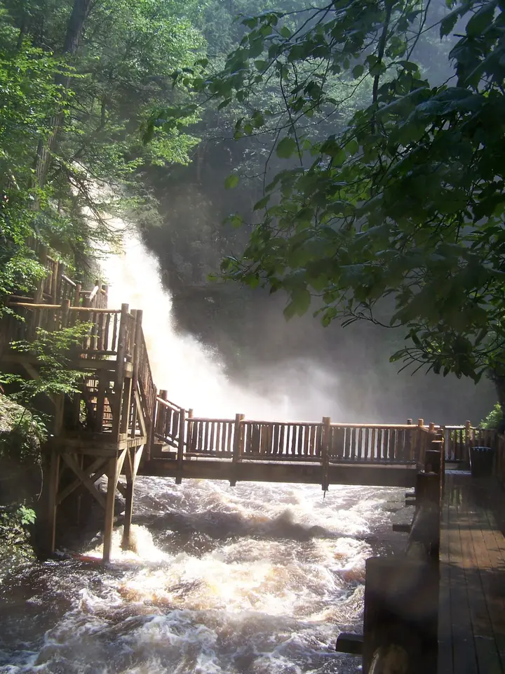
A privately run chain of eight waterfalls in a hemlock-shaded gorge, linked by bridges and boardwalk trails, with the 100-foot main falls at the center; it bills itself as the Niagara of Pennsylvania.
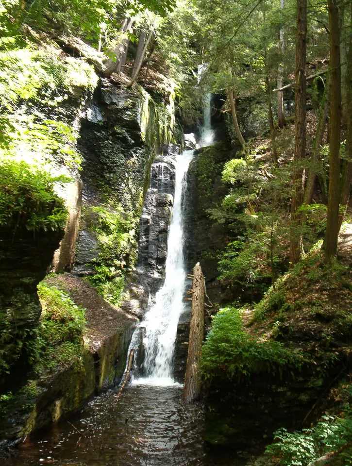
A boardwalk through a hemlock ravine passes the slender ribbon of Silverthread Falls before reaching a 130-foot cascade that ranks among Pennsylvania's tallest waterfalls.
Running 150 miles from Pittsburgh to Cumberland, Maryland, this crushed-limestone rail trail crosses the Eastern Continental Divide and the Youghiogheny gorge at Ohiopyle and links to the C&O Canal towpath.
The world's first refuge for birds of prey, where hikers climb to rocky lookouts on the Kittatinny Ridge to watch thousands of hawks, eagles and falcons stream south each fall.
Seventy miles of footpath along Laurel Ridge, from the Youghiogheny River to the Conemaugh Gorge, with mileposts all the way, mountain views and shelter areas for backpackers.
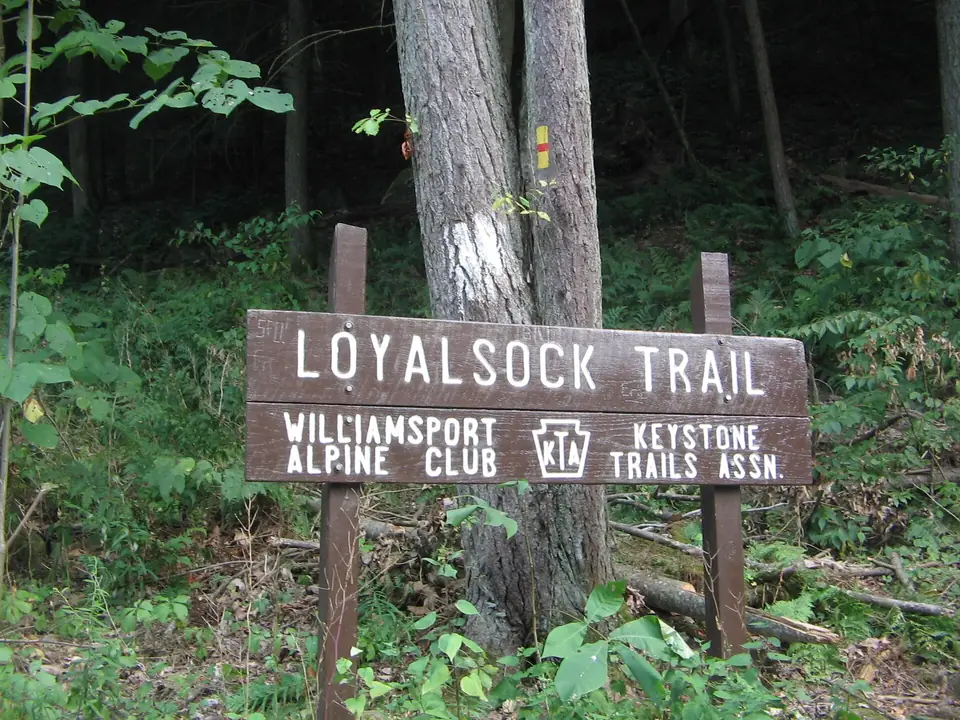
Waterfalls, rock ledges and vistas line this nearly 60-mile footpath through Loyalsock State Forest and Worlds End State Park, which passes the creek's Haystacks boulders.
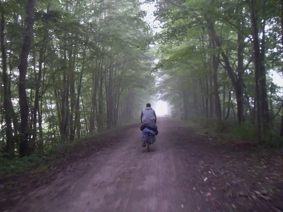
A 62-mile crushed-stone rail trail along Pine Creek, running through the Pennsylvania Grand Canyon and past small villages, with eagles overhead and the creek for company.
A deep, wooded gorge cut by Wissahickon Creek, with car-free Forbidden Drive along the water, the 1850s Valley Green Inn, a covered bridge and rugged trails up schist cliffs.
Pennsylvania's only national forest, with the long Allegheny Reservoir, the old-growth groves of Hearts Content, overlooks such as Rimrock and many miles of the North Country Trail.
The Maine-to-Georgia footpath crosses about 230 rocky miles of Pennsylvania; at Pine Grove Furnace, near its halfway point, an old gristmill houses the Appalachian Trail Museum.
Steep climbs out of deep hollows lead to wide vistas over the Pine Creek valley on this hard 42-mile loop near Slate Run.
A 165-mile trail from Wilkes-Barre to Bristol; here it follows the Lehigh River through the steep, wooded Lehigh Gorge, and farther south it runs on old canal towpaths.
Wooded ravines and miles of trails make up the largest of the city's parks, a bequest from industrialist Henry Clay Frick, with an environmental center and a lawn bowling green.
A loop trail follows Dingmans Creek through a hemlock gorge past three waterfalls, Factory, Fulmer and Deer Leap, with the stone ruins of an old woolen mill and shady picnic spots.
More than 300 miles of orange-blazed footpath across the middle of the state, from the Maryland line to New York, along rocky ridgetops with wide views.
For 30 miles this footpath follows the western rim of the Pennsylvania Grand Canyon, with frequent vistas down into Pine Creek Gorge and campsites along the way.
Short but steep, this loop of about nine miles above Pine Creek climbs to a string of vistas before following a stream back down through the woods.
A grove of old-growth white pines and hemlocks, some well over 300 years old, on an easy loop trail through one of the few virgin stands left in the Allegheny forest.
Pennsylvania's highest point, at 3,213 feet, is a gentle rise on a broad plateau, with an observation tower looking over the Laurel Highlands and trails through stunted, windswept woods.
A loop of about 27 miles through Loyalsock State Forest on old logging railroad grades and woods roads, with mountain vistas and the clear pools of Rock Run.
Starting at Parker Dam State Park, a rugged loop of more than 70 miles through the Quehanna Wild Area and nearby state forest, with deep stream valleys and elk country.
By the National Park Service's measure, this is Pennsylvania's tallest waterfall, dropping in several tiers into a hemlock ravine a short, steep walk from the parking area.
Beginning in Center City, a long riverside trail runs past Boathouse Row and Manayunk to Valley Forge and beyond, paved through the city and busy with cyclists, runners and walkers.
A short trail follows Swift Run through a rare stand of old-growth hemlock and pine, cool and dim even on a summer afternoon.
An 85-mile backpacking loop through remote Potter County state forest, passing Ole Bull State Park, the Hammersley Wild Area and long, quiet stream valleys.
A quartzite cliff rising about 200 feet above the Susquehanna, reached by a short woodland walk, with the Northwest River Trail running along the shore below for cyclists and walkers.
A yellow-blazed path for hikers and horseback riders, running about 140 miles from Valley Forge to the Appalachian Trail over wooded ridges and through farm valleys and old iron-furnace country.
Linking the Mid State and Tuscarora trails, about 84 miles of rocky ridge walking, known for its vistas, the Throne Room rock formation and the Thousand Steps stone stairway.