Where to see falling water in Pennsylvania, from the tall falls of the Delaware Water Gap to the glens of Ricketts Glen and the rapids of Ohiopyle.
Pennsylvania's waterfalls come in two kinds. In the northeast, streams tumble off the edge of the mountain plateaus in long
chains of cascades through hemlock glens: Ricketts Glen alone has more than twenty named falls, and the Delaware Water Gap
has the tallest falls in the state within a few miles of each other. In the west, rivers have cut deep, boulder-strewn
gorges, like Slippery Rock Creek at McConnells Mill and the Youghiogheny at Ohiopyle. Spring and the days after a good
rain are best, when the falls run full; autumn adds color, and hard winters turn some of them to ice, though steep trails
may close. Wet rock is slippery everywhere, so wear proper shoes and keep to the trails.
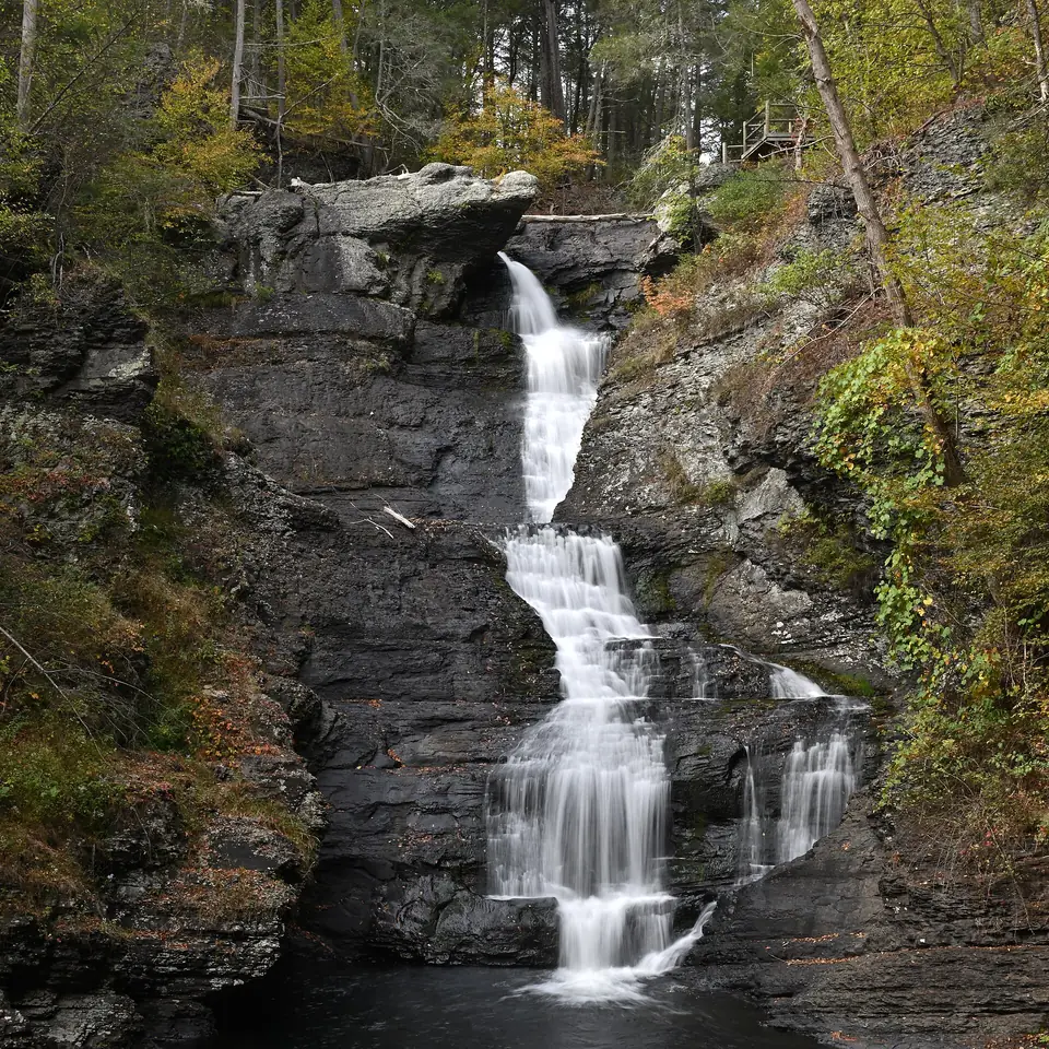
The tallest waterfall in Pennsylvania, according to the National Park Service, drops in three tiers through a hemlock ravine a few miles south of Milford. A short, steep trail leads down to two viewing platforms.
A level boardwalk follows Dingmans Creek through rhododendron and hemlock, past the slender ribbon of Silverthread Falls, to the foot of Dingmans Falls, which drops about 130 feet. It is one of the easiest big waterfalls in the state to reach.
Farther up Dingmans Creek, a loop trail with footbridges follows the stream down past three waterfalls, Factory, Fulmer and Deer Leap, beginning beside the stone ruins of an old woolen mill.
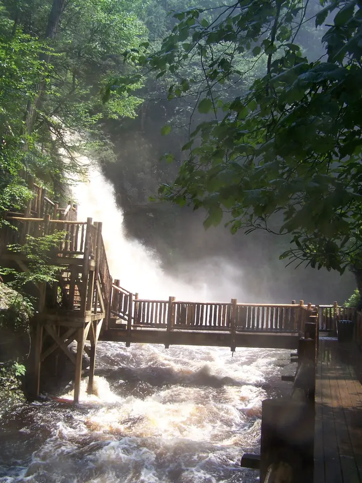
Open to the public since 1904, this private park strings trails, stairs and bridges through a ravine past eight waterfalls. The main fall drops about 100 feet.
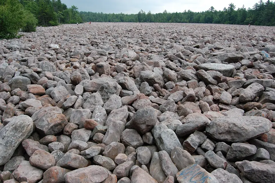
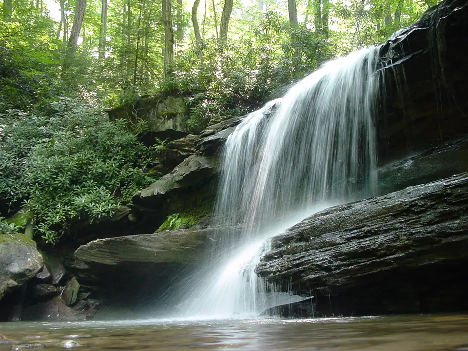
A short trail through rhododendron leads to Hawk Falls, where Hawk Run pours over a rock ledge near Mud Run. The park's Boulder Field, a flat sea of rocks left by the Ice Age, is a short drive away.
The Falls Trail follows two branches of Kitchen Creek down through Ganoga Glen and Glen Leigh, past 22 named waterfalls by the park's count; the tallest, Ganoga Falls, drops 94 feet. The trail is steep, rocky and wet, so wear boots with a good grip and allow most of a day.
Loyalsock Creek bends through a narrow, steep-sided valley here. Drive up to Canyon Vista for the view down the gorge, then walk the shorter paths along Double Run, where small falls tumble through the woods.
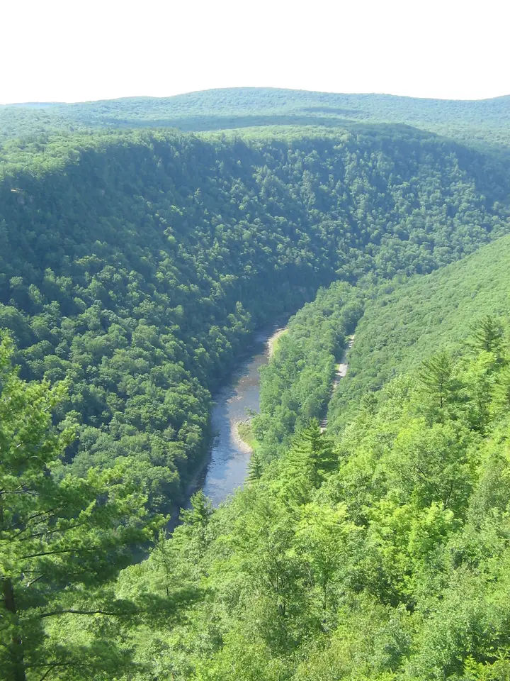
The overlooks on the east rim of Pine Creek Gorge look some 800 feet down to the creek. The Turkey Path zigzags down the side of the gorge past a string of little waterfalls on a side stream, and the climb back up is the hard part.
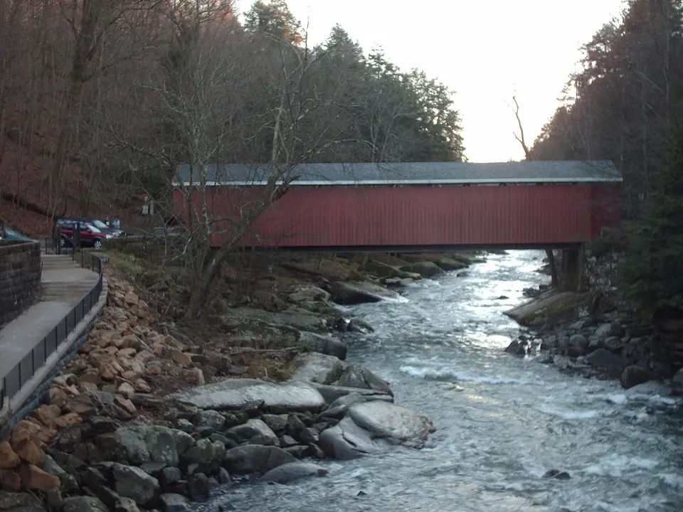
Slippery Rock Creek races through a boulder-filled gorge beside a restored gristmill and a covered bridge. The Kildoo Trail follows the creek, and Hell's Hollow Falls is a short walk from its own trailhead. The creek is fast and dangerous, so stay out of the water.
The Youghiogheny River pours over Ohiopyle Falls at the edge of the village, and Cucumber Falls drops into a mossy grotto a short drive away. In summer people ride the natural water slides of Meadow Run, and Fallingwater is a few miles north.