State forest · Cook Township, Westmoreland County
Forbes State Forest
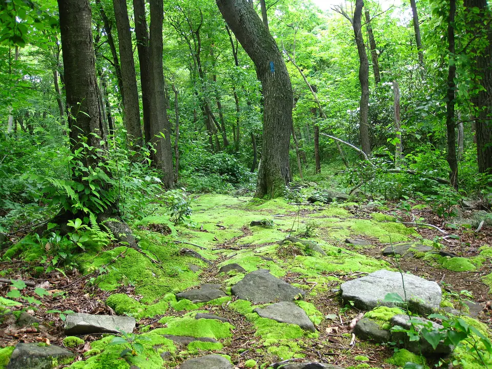
Scattered high-country tracts of the Laurel Highlands, from Pennsylvania's highest point on Mount Davis to the Spruce Flats bog, with ridgetop trails, trout streams and room for backcountry rambles.
What you will find
- Hiking trails
- Camping
- Fishing
Hunting is permitted here in season. Check the state hunting calendar and wear blaze orange in fall and winter.
Make a day of it
Nearby
-
Laurel Summit State Park
A cool, breezy picnic ground near the top of Laurel Ridge that doubles as the starting point for walks to the rocky Wolf Rocks overlook and the Spruce Flats bog.
-
Linn Run State Park
A mountain stream tumbles over Adams Falls in this wooded hollow, with rustic rental cabins, trout fishing and trails climbing into the surrounding state forest.
-
Laurel Mountain State Park
A ski area on the crest of Laurel Ridge, nearly 3,000 feet up, known for its steep runs and for the long views across the valley below from its slopes and lodge.
-
Kooser State Park
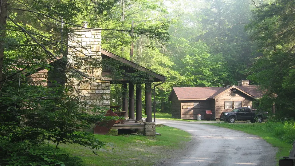
High in the Laurel Highlands, rustic cabins built by the Civilian Conservation Corps sit beside a trout stream in cool forest, a short hop from the Laurel Highlands Hiking Trail.
-
Somerset Historical Center
Rural life in the Laurel Highlands, told through a 1770s settler's cabin, an early farmstead, a maple sugar camp and the relocated 1859 Walter's Mill covered bridge.
-
Fort Ligonier
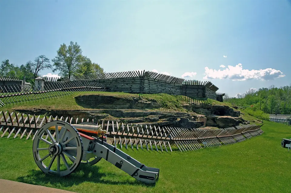
A full-scale reconstruction of the British fort built in 1758 during the Forbes campaign, with earthworks, cannon and a museum of French and Indian War artifacts.