Public Parks 173
State parks and forests, national recreation areas, wildlife refuges and city parks.
-
Loyalsock State Forest
Wild plateau country cut by Loyalsock Creek, with the rugged Loyalsock Trail, waterfall-filled glens and the High Knob Overlook's view across the Endless Mountains.
-
Michaux State Forest
South Mountain's big working forest, where Pennsylvania's first forestry school took root, crossed by the Appalachian Trail and dotted with rocky overlooks and charcoal hearths from the old iron-furnace days.
-
Moshannon State Forest
Big plateau forest that takes in much of the Quehanna Wild Area, once a Cold War nuclear research site, now crossed by the long Quehanna Trail and home to roaming elk.
-
Mount Davis
Pennsylvania's highest point, at 3,213 feet, is a gentle rise on a broad plateau, with an observation tower looking over the Laurel Highlands and trails through stunted, windswept woods.
-
Pinchot State Forest
Named for conservationist Gifford Pinchot, these northeastern tracts include the Pinchot Trail, a long loop through boggy plateau woods, hardwoods and laurel thickets.
-
Raymondskill Falls
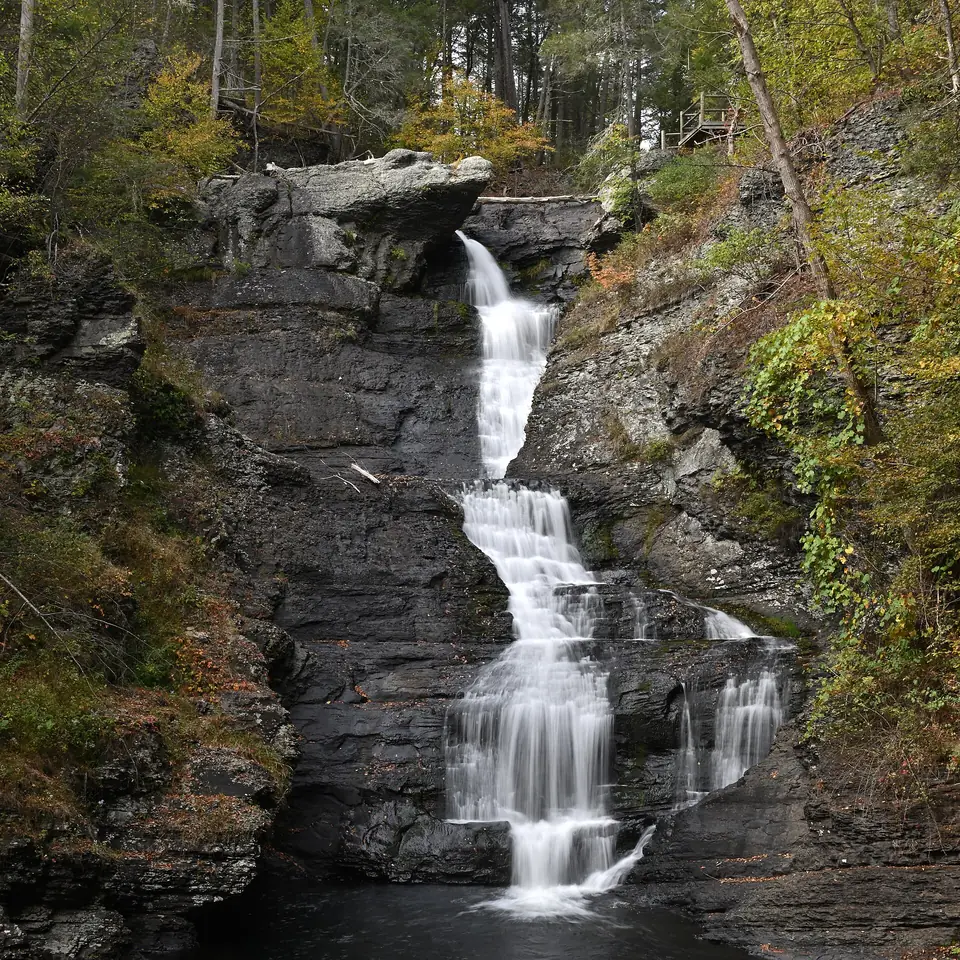
By the National Park Service's measure, this is Pennsylvania's tallest waterfall, dropping in several tiers into a hemlock ravine a short, steep walk from the parking area.
-
Rothrock State Forest
Deep hollows and long ridges of the Seven Mountains, with the Mid State Trail, the old-growth hemlocks and rhododendron of the Alan Seeger Natural Area and the boggy Bear Meadows Natural Area.
-
Snyder Middleswarth Natural Area
A short trail follows Swift Run through a rare stand of old-growth hemlock and pine, cool and dim even on a summer afternoon.
-
Sproul State Forest
The largest of Pennsylvania's state forests, a vast, deeply cut plateau along the West Branch of the Susquehanna, with the Chuck Keiper and Donut Hole trails, wild areas and roadless valleys.
-
Susquehannock State Forest
Remote, rolling plateau forest near the New York line, with the 85-mile Susquehannock Trail, the roadless Hammersley Wild Area and night skies dark enough to draw astronomers.
-
Tiadaghton State Forest
Steep, forested mountains along lower Pine Creek, with the Pine Creek Rail Trail on the canyon floor and two famously rugged hiking loops, the Black Forest and Golden Eagle trails.
-
Tioga State Forest
Much of the Pennsylvania Grand Canyon lies within this forest, where the 30-mile West Rim Trail follows the gorge's edge and the Pine Creek Rail Trail runs along the creek far below.
-
Tuscarora State Forest
Parallel ridges and narrow valleys of the Ridge and Valley country, with the Tuscarora Trail, mountaintop vistas and backcountry that includes a natural area of towering old-growth hemlocks.
-
Weiser State Forest
Coal-region ridges hold these scattered tracts of mountain forest, the best known being the Roaring Creek Tract, a favorite for walks and bike rides along a stream and old reservoirs.
-
William Penn State Forest
Small, scattered tracts in the southeast corner of the state, the best known being Goat Hill, a rare serpentine barren of rocky grassland and plants found almost nowhere else in Pennsylvania.
-
Allegheny Islands State Park
Three undeveloped islands in the Allegheny River, reached only by boat, where paddlers can pull up on wooded shores and watch for herons and other river wildlife.
-
Big Spring State Park
A railroad tunnel bored into the mountain and then abandoned unfinished lies at the end of a short walk from this shady picnic spot, also a trailhead for the long Iron Horse Trail.
-
Kinzua Dam
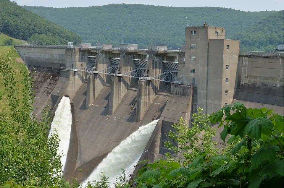
The big concrete dam holding back the long, winding Allegheny Reservoir, with overlooks, a visitor center and a history that includes the flooding of Seneca Nation land in the 1960s.
-
Laurel Caverns
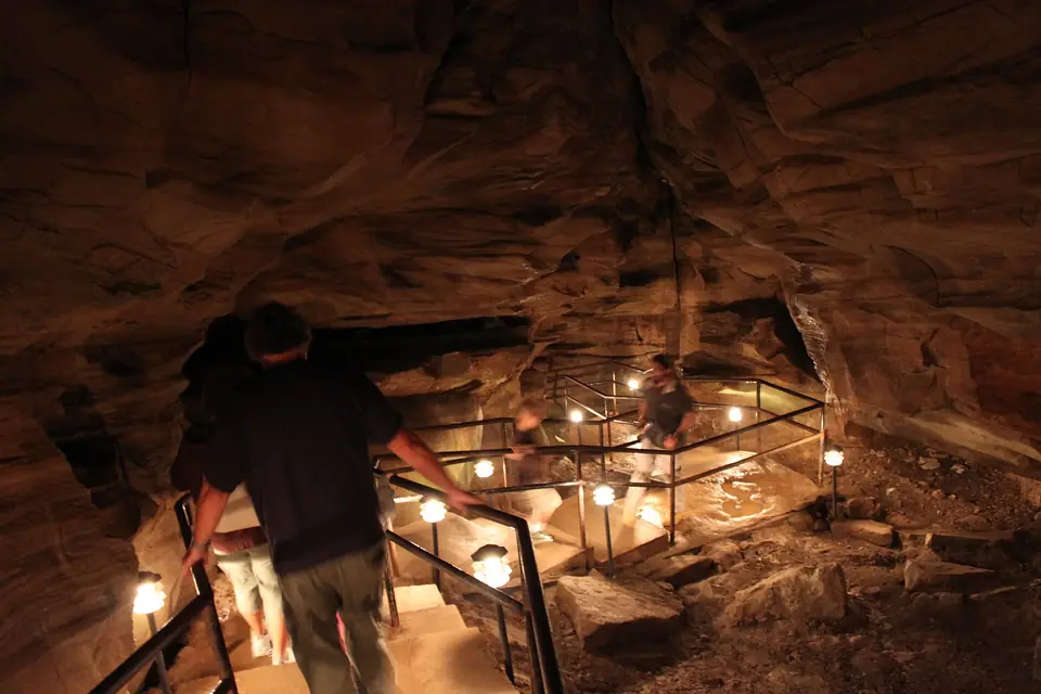
Pennsylvania's largest cave, deep inside Chestnut Ridge, offers guided walking tours, rugged crawling-and-climbing caving trips and a mountaintop view across the Laurel Highlands.
-
Laurel Mountain State Park
A ski area on the crest of Laurel Ridge, nearly 3,000 feet up, known for its steep runs and for the long views across the valley below from its slopes and lodge.
-
Archbald Pothole State Park
A glacial pothole 38 feet deep, drilled into the bedrock by swirling meltwater and stones at the end of the Ice Age and uncovered by coal miners in 1884.
-
Bucktail State Park Natural Area
Less a park than a 75-mile drive: the Bucktail Trail follows Sinnemahoning Creek and the West Branch Susquehanna through deep forested valleys, named for a Civil War regiment of backwoods marksmen.
-
Crooked Creek Lake Recreation Area
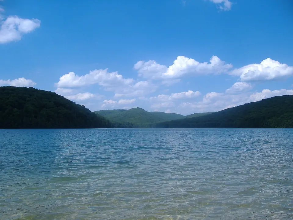
An Army Corps of Engineers flood-control lake in the hills of Armstrong County, used for boating, fishing and picnics by the water.
-
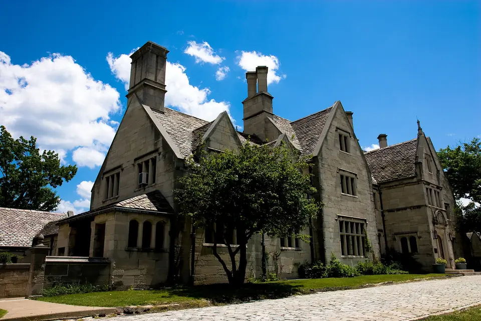
Hartwood Acres
A 1920s Tudor-style mansion and its stables sit amid rolling meadows and woods, with house tours, trails and summer concerts on the lawn.
-
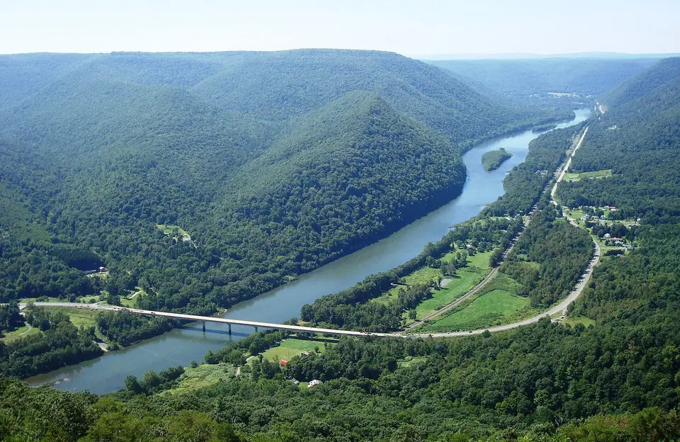
Hyner View State Park
A stone-walled overlook perched high above the West Branch of the Susquehanna, with a sweeping view up and down the river valley and a launch ramp used by hang gliders.
-
Middle Creek Wildlife Management Area
Each late winter, tens of thousands of snow geese and tundra swans crowd the lake here on their way north, a spectacle that draws birders from across the region to the visitor center and trails.
-
Montour Preserve
Fields, woods and a lake in the farm country north of Danville, with walking trails and good birding through the seasons.
-
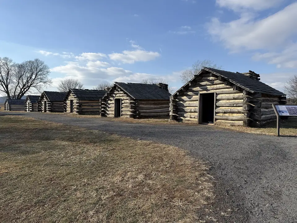
Valley Forge National Historical Park
Where Washington's Continental Army camped through the winter of 1777-78: rolling fields, rebuilt huts, his headquarters and miles of trails.
-
Chickies Rock County Park
A quartzite cliff rising about 200 feet above the Susquehanna, reached by a short woodland walk, with the Northwest River Trail running along the shore below for cyclists and walkers.